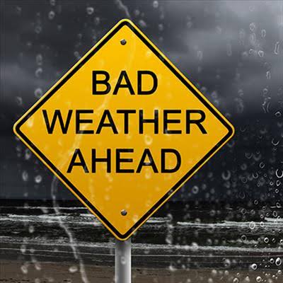
The public is urged to note that severe thunderstorms accompanied by heavy downpours are expected over most parts of KwaZulu-Natal from Thursday afternoon, 14 November into Friday afternoon. Improvement is expected from Friday evening. However, there will still be some rain in places over KwaZulu-Natal.
The thunderstorms will also be accompanied by severe lightning, hail and strong, damaging winds.
The potential impact of the severe thunderstorms with heavy downpours could result in the flooding of roads which in turn could lead to major travel disruptions and incidents. Flooding of settlements, both formal and informal, as well as the closure of low lying bridges is possible. The public is urged to be cautious as the inclement weather may result in fast flowing streams and deep water. The storms which will be accompanied by lightning, hail and strong winds may pose danger to life, vehicles and structural damage.
Current forecast confirmed by the South African Weather Service show storm activity commencing at 1pm tomorrow, 14 November with the peak centered over the south central region between uMlazi and Pinetown, moving off by 6pm.
The northern areas between Durban North and Tongaat are expected to experience thunderstorms tomorrow, Thursday between 11pm and 8am on Friday morning, 15 November that will see high intensity rainfall in excess of average rainfall.
The public is urged not to circulate unofficial weather warnings as this creates unnecessary panic and to rather only share information from the Municipality and official news sites. This includes false reports of 11 people dying after a roof collapsed at Suncoast Casino today.